Quadcopter imaging

in summer 2017 we imaged several areas to produce Digital Elevation Models (DEM) to investigate their use in repeat surveys. The 3D Robotics Solo was equiped with a Mapir camera:

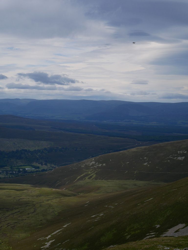
This shows the quadcopter flying an imaging mission (top right in the sky)

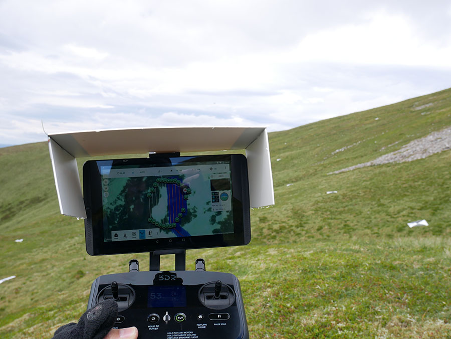
We used the Tower app to control imaging missions

2016 deployment a success!


The team in 2016 outside Loch Insh

The team in 2016 outside Loch Insh – minus Arthur who flew back for his graduation!

We managed to update the processors so we have more RAM/Flash while keeping the same sensors deployed in 2015. Sebastian’s solar powered lithium battery packs were installed in many nodes too!

Router2 repair and replacement as winter sets in

Router2 – which links our network over the mountains to the peat research zone had fallen over in high winds. Olivia and Emma successfully repaired it on a cold day in November:

Emma Bryder - PhD student in Dundee - helping to fix router2. It had fallen over and winter was setting in. A replacement box/node/battery linked up the peat zone into the network once this was installed.

Emma Bryder – PhD student in Dundee – helping to fix router2. 

Winter was setting in and soon travel up to the sites will be very difficult. A replacement box/node/battery linked up the peat zone into the network once this was installed. Data which had been stored on peat nodes started to flow back to the server every hour (as expected) via four network hops!

2015 maintenance trip

In September Arthur and Kirk went to reprogram the nodes with bug fixes.

Arthur reprogramming a peat node. Not the best weather that day!

Arthur reprogramming a peat node. Not the best weather that day!

We had reduced the RAM usage of the code and removed some bugs. It also allowed us to recover readings from “lost” nodes and recharge the batteries.

Once again we had the use of the conservation buggy - to carry equipment up and down. The luggage section is useful for this activity!

Once again we had the use of the conservation buggy – to carry equipment up and down. The luggage section is useful for this activity!

Sensor Network working well today!

This sensor node links our radio network up into the peat study area

This sensor node links our radio network up into the peat study area

In order to cover the study area over the ridge – we placed this sensor node in a strategic place so it passes traffic across. By this time the packets have come 3km up to the mountain then 1km across to this node – then another 600m down to the peat area.

All this with 868MHz radios running IPv6 (6LowPAN) and CoAP to gather the data!

Arthur-router2

Arthur – our superb intern team member this summer has worked very hard to get the CoAP layer working for the system and has now seen it in action on the mountain.

New Camera at the estate

We’ve just installed a new IP camera at the estate.  This will give us regular images so it’s possible to see what the weather is like, to help plan field trip days, and give information about the snow fall and melt throughout the year.

A view from the estate offices.

An image from the new camera

relay node

Phil and Graeme building a relay node on the ridge

Phil and Graeme building a relay node on the ridge

There are key “hops” in the network which require a node to route traffic. These “relay nodes” are key to the links and have a tripod to raise their antenna slightly – which is a higher performance antenna too. Before leaving for the winter we pegged it to the ground to test its strength.

Laser scanning

ND6_1351 (Small)

Thanks to the estate’s buggy we could take all the laser scanner gear up the track to the site easily.

ND6_1352 (Small)

Once the targets are set up the scanner captures a 3D map of the study area – in this case some stone banked lobes